
tigerbalm
Well-Known Member
- First Name
- Damien
- Joined
- Oct 11, 2020
- Threads
- 96
- Messages
- 3,526
- Reaction score
- 7,951
- Location
- Dublin, Ireland
- Website
- www.targatrips.com
- Vehicles
- 911 Targa 4 GTS, Fiat 500 EV. Sold: Taycan Turbo S, Taycan 4S; Panamera Turbo S

- Thread starter
- #1
Just thought I'd post here in case someone had a similar use case to me – which admittedly might be unlikely! I wrote and open sourced an iOS app that I called Driveline.
The primary purpose of the app is to record my road trips so that I can publish maps on my travel blog – Targa Trips. Previously, what I mostly did was take a screenshot of Apple or Google Maps showing a route. But that suffered from two problems: (a) it would show suggested routes, not necessarily the one I drove and (b) it would often show alternative routes too.
You can see an example of this at: https://www.targatrips.com/trips-ar...-15-kiel-germany-hook-of-holland-netherlands/
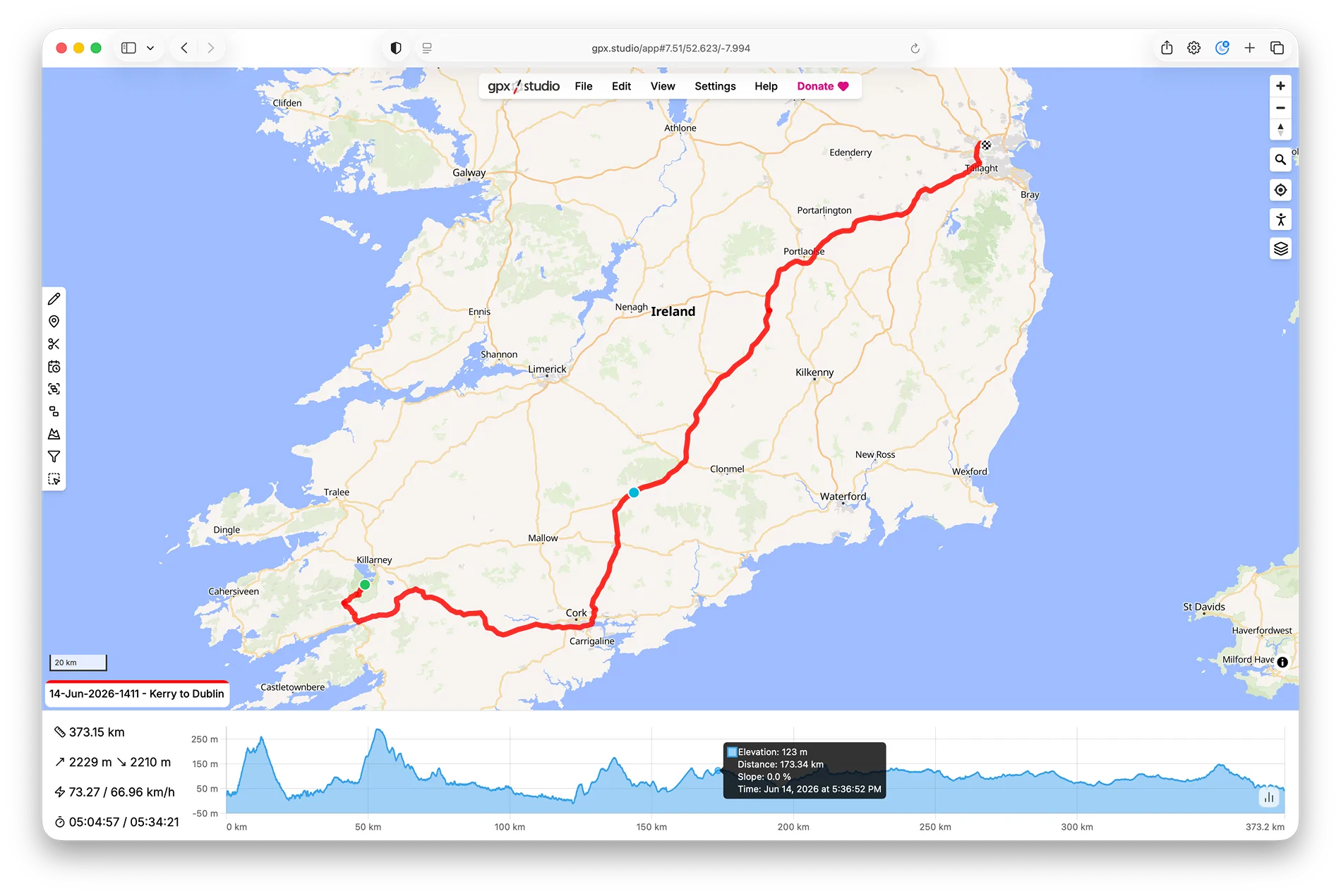
This app solves that by: (a) recording the actual route driven and (b) doing so without me having to remember to start/stop it.
It also saves off all the exact position data into a GPX file format (originally invented by Garmin). I plan to – eventually use this – to create a moving map kind of blog post. That as the viewer scrolls through the blog, the dot moves along the route to reflect what part of the map the blog paragraph they are reading relates to.
I’ve never seen a travel blog quite pull that off. And it does it all in a highly privacy preserving way – with no third parties, and no commercial angle. And its open sourced:
https://github.com/dglancy/Driveline

The primary purpose of the app is to record my road trips so that I can publish maps on my travel blog – Targa Trips. Previously, what I mostly did was take a screenshot of Apple or Google Maps showing a route. But that suffered from two problems: (a) it would show suggested routes, not necessarily the one I drove and (b) it would often show alternative routes too.
You can see an example of this at: https://www.targatrips.com/trips-ar...-15-kiel-germany-hook-of-holland-netherlands/
This app solves that by: (a) recording the actual route driven and (b) doing so without me having to remember to start/stop it.
It also saves off all the exact position data into a GPX file format (originally invented by Garmin). I plan to – eventually use this – to create a moving map kind of blog post. That as the viewer scrolls through the blog, the dot moves along the route to reflect what part of the map the blog paragraph they are reading relates to.
I’ve never seen a travel blog quite pull that off. And it does it all in a highly privacy preserving way – with no third parties, and no commercial angle. And its open sourced:
https://github.com/dglancy/Driveline
Sponsored